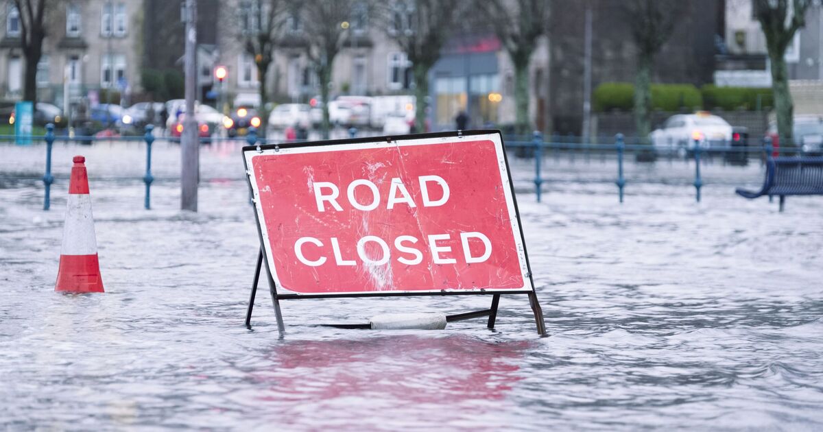

The UK is bracing for a dramatic start to October as new weather maps predict heavy rainfall and gusts of up to 60mph set to hit large swathes of the country. The latest forecasts from WX Charts reveal a powerful band of wind sweeping across the UK from the evening of Friday, October 3, with the worst of the weather expected around 7pm.
The WX Charts map shows deep purple shading across vast areas including Southampton, Manchester, Edinburgh, Aberdeen, Wick, and even across Northern Ireland, including Belfast, County Antrim and County Down. Coastal counties such as Kent, Essex, and Suffolk are also firmly in the firing line as the storm tracks from south to north. Heavy rainfall is expected across much of the UK with up to 5mm of rain per hour expected in southern Scotland on Friday morning. A wide rain band, shaded green, yellow and even red on the latest map stretches from northern and western Scotland, across the Lake District, and as far south as Plymouth and St Ives in Cornwall.
The Met Office's long-range forecast warns that the UK could be in for a "very disturbed" start to the month due to an approaching deep low-pressure system.
The Met Office's forecast for the period of Friday, October 3 to Sunday, October 12 reads: "This period could begin with some very disturbed weather for the British Isles, with a deep low probably passing to the north or northwest of the country.
"This means there is potential for very strong winds and some further heavy rain, especially, but exclusively for more northern areas. Into the following week, a broadly westerly type looks most likely, with further weather systems running in from the Atlantic.
"On balance, southern areas stand a better chance of seeing longer drier interludes. However confidence in the details remains on the low side, owing to ongoing Atlantic tropical cyclone activity.
"Overall, temperatures probably fairly close to average by day and whilst some overnight frost cannot be ruled out, especially later in the period, nothing overly cold is signalled at this stage."
From Tuesday to Thursday, the Met Office also forecasts a northwest–southeast split for much, with rain and stronger winds affecting northwestern regions, while the southeast is expected to remain dry.
September has brought a sudden change in weather and drop in temperatures especially overnight with parts of the UK dipping below 10C in recent days, a contrast to the long, hot summer just gone.
Summer 2025 has officially been confirmed as the hottest on record for the UK. According to the Met Office, the mean temperature between June 1 and August 31 was 16.10C, which beats the previous record of 15.76C set in 2018.