
But, according to BBC meteorologist Simon King, there would be no wall of rain.
He said: "These reports are simply suggesting that the low pressure containing the remnants of hurricane Erin would be 600 miles wide as it moves to the west of the UK, a size very typical for this type of weather system that affects the UK.
"Rain doesn't fall in a continuous sheet stretching for hundreds of miles so there'll be no 'wall of rain' to come with it either."
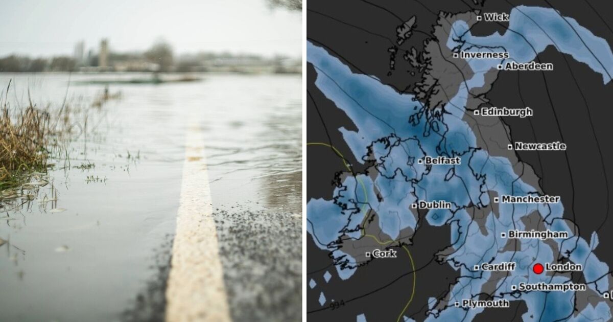
Nevertheless, if online forecaster WX Charts' forecasts are correct, millions of Brits from Kent to Enniskillen in Northern Ireland will see rainfall at some stage.
The only areas that may stay dry, according to WX Charts, are the north-east of England and Northern Scotland. According to Mr King, there may be "unsettled" weather as a result of Erin, but given the storm is some way off the UK, it is difficult to make the prediction with any certainty.
"Into next week the weather will eventually turn a little more unsettled with the remnants of what will be ex-hurricane Erin", he explained.
"While Erin is still over 3,000 miles away from the UK, it will eventually weaken as it moves across the North Atlantic and arrive to the west of the UK as an area of low pressure – a process we often see in the UK from mid-August as the hurricane season starts to pick up.
"And being over a week away, there are still lots of uncertainties with the forecast, but we could see some wet and at times windy weather from mid-week."
Some showers will affect the southwest of the UK tonight, locally perhaps thundery. Meanwhile, low cloud and patchy drizzle across eastern England and northern and eastern Scotland will extend southwestwards. Clear spells persisting across many southern and western areas.
Low cloud will retreat towards the east and northeast of the UK tomorrow, where patchy drizzle remains possible. Some warm sunshine developing elsewhere. Scattered showers, perhaps thundery, across southwest England.
The middle and end of the week looks mostly dry and settled with some warm sunshine. However, eastern areas will continue to see cooler and cloudier weather for a while.