News Feed

Storm Floris is set to strike the UK early next week, bringing powerful winds of up to 78mph and widespread heavy rain, according to the latest weather maps. Seperately, the Met Office has issued yellow weather warnings for both Monday, August 4, and Tuesday, August 5, with northern parts of the UK, particularly Scotland, expected to face the most severe conditions. New weather maps from WX Charts reveal the expected path and intensity of the storm.

One map shows wind gusts reaching 78mph along coastal areas of Fife and Lothian around 6am on Tuesday, August 5. Rainfall is also forecast to intensify from early Monday morning.

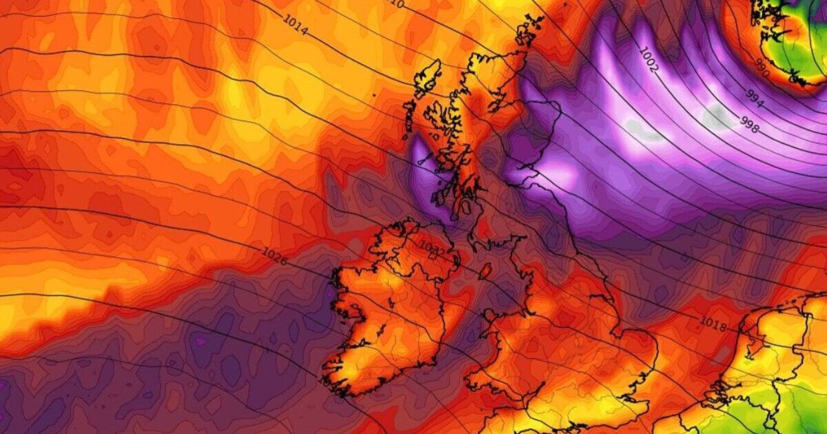
WX Charts predicts heavy downpours of up to 10mm per hour hitting parts of Northern Ireland and southern Scotland, including Dumfries, by 6am.

By 9am, the rain is expected to spread across northern England, affecting areas like Lancashire, Central, Tayside, and Fife, and northern Scotland, including the Highlands. Around 5mm of rain is expected at this time in North East England and central and coastal areas of Scotland.

According to the latest WX Charts map, rain is expected to move northeast later in the day, with lighter but persistent showers around 3pm.

Forecasts predict 1mm of rain in Inverness, 2mm near Plymouth in Cornwall, and up to 3mm in Grampian and the northern coast of the Highlands.

Separately, the Met Office has issued a yellow warning for wind, in place across multiple regions for Monday and Tuesday.

The Met Office wrote: "Storm Floris will bring a spell of unusually windy weather for the time of year across the northern half of the UK early next week. The strongest winds are most likely to occur across Scotland during Monday afternoon and night, although there remains some uncertainty in the depth and track of Floris.

"Across the warning area, many inland areas are likely to see westerly wind gusts of 40-50 mph with 60-70 mph possible along exposed coasts and high ground, especially Scotland. There is a chance of a spell of even stronger winds developing for a time, with inland gusts of 60-70 mph and 85 mph along exposed Scottish coastlines and hills.

"Winds will first ease in the west during later Monday but remaining very strong overnight until early Tuesday in the east. Heavy rain may also contribute to the disruption in places."


Source link

Leave A Comment


Last Visited Articles:


Info Board

Visitor Counter
0
 

Todays visit

47 Articles 8280 RSS ARTS 15 Photos

Popular News

🚀 Welcome to our website! Stay updated with the latest news. 🎉

United States

216.73.216.248 :: Total visit:


Welcome 446.73.446.448 Click here to Register or login
Oslo time:2025-08-02 Whos is online (last 1 min): 
1 - United States - 226.73.226.248
2 - United States - 52.203.75.83


Farsi English Norsk RSS