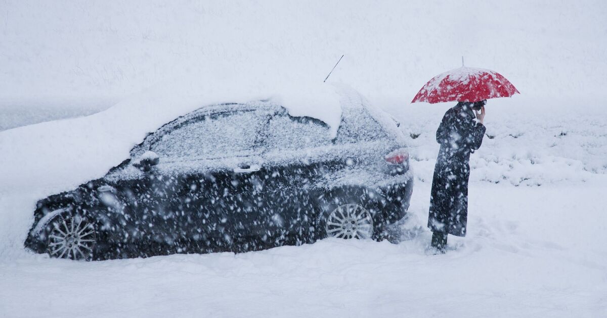

A period of snow could bring some disruption to parts of Wales, central England and the southern Pennines from today (Wednesday, February 18), the latest Met Office forecast said.
The full forecast read: "Whilst there is some uncertainty in the details, there is the potential for an area of rain and snow to affect parts of Wales, central England and into the southern Pennines during Wednesday evening and overnight into Thursday.
"2-5 cm of snow could accumulate quite widely above 150-200 metres, with perhaps as much as 10-15 cm above 250-300 metres in mid and southeast Wales, as well as Herefordshire, Shropshire and the southern Pennines. Some small accumulations of snow, typically less than 2 cm, are possible to lower elevations, especially from later Wednesday evening into the early hours of Thursday morning."
The Met Office has also issued the following warning: "Snowy, wintry weather can cause delays and make driving conditions dangerous, so to keep yourself and others safe: plan your route, checking for delays and road closures, amending your travel plans if necessary; if driving, leave more time to prepare and check your car before setting off; make sure you have essentials packed in your car in the event of any delays (warm clothing, food, water, a blanket, a torch, ice scraper/de-icer, a warning triangle, high visibility vest and an in-car phone charger).
"People cope better when they have prepared in advance for the risk of power cuts or being cut off from services and amenities due to the snow. It’s easy to do; consider gathering torches and batteries, a mobile phone power pack and other essential items."