
WXCHARTS weather maps for Wednesday, February 18, show most of the country blanketed.
Only areas around Liverpool, the Norfolk coast and Northern Ireland look set to evade the wintry conditions.
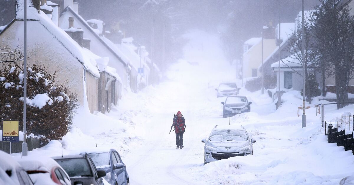
The heaviest snowfall is expected in the Scottish mountains with 89cm forecast to fall near Inverness.
Meanwhile, the heaviest snowfall in England is expected in Lancashire with 13cm forecast.
Around 12cm of snow is set to fall in the northeast near Newcastle, according to the maps.
The snow will also coincide with below-freezing conditions across the country. The southeast of Scotland is forecast to see temperatures of -5C.
Meanwhile, all of England is expected to see temperatures fall to between -2C and -3C.
The Met Office forecast says snow is possible between February 10 and March 6.
The weather agency's forecast for this period says: "Predominantly cyclonic patterns are expected to dominate the UK. Further fronts are likely to approach the UK at times and then become slow-moving as they butt up against high pressure to the north or northeast of the UK.
"Thus some southern and western areas remain most prone to seeing the wettest conditions, which will maintain sensitivity to further flooding impacts. Parts of northeast Britain may also be wetter than normal. Some snow is likely, especially in any colder air masses that filter south or east into the UK and/or on the interface between mild and cold air.
"Strong winds are also possible at times. Temperatures will remain finely balanced during this period, with northeastern areas more likely to be colder than average, and southwestern areas perhaps seeing mild conditions at times."