
The remnants of a 140mph hurricane barrelling towards Europe are set to trigger downpours across the UK in the coming days, forecasters have warned.
Hurricane Gabrielle, now a Category 4 hurricane in the Atlantic Ocean, is believed to possess the power to inflict "catastrophic damage". It's on course to speed towards Europe, specifically Portugal's Azores, where locals have been urged to take precautions to minimise any destruction.
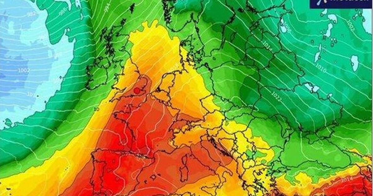
While the hurricane isn't predicted to cause primary damage across the UK, its remnants will likely result in a wet and windy weekend. Nick Finnis, a meteorologist at Netweather, penned on its blog: "It (Hurricane Gabrielle) passes east of Bermuda, before it moves towards western Europe by the weekend, injecting some tropical energy into the jet stream and heralding a return of more unsettled conditions."
Although there remains some uncertainty about the exact timing of the deluge, it's anticipated that it'll be particularly wet - and thundery - across the Midlands and then the East of England over the weekend. Over 12mm of rain is expected to lash across Lincolnshire and Nottinghamshire within just a few hours.
These impending downpours follow heavy rain last Saturday, which resulted in flooding across parts of the Northwest of England. Cars were submerged in Salford, Greater Manchester, and waterways across north Wales also burst their banks, reports the Mirror.
However, only a small number of flood warnings and alerts remain active at present, including concerns for campsites near Keswick, Cumbria and the Upper River Ouse in York.
Despite this, the Met Office acknowledges the turbulent conditions expected across most areas during the weekend.
The forecaster's website states: "An uncertain period but on balance we are likely to see a change from the settled conditions of the previous days to something more unsettled through the coming weekend.
"This will most likely see a band of rain reaching western areas of the UK on Saturday, then gradually and erratically working its way east across most of, if not all of the country through Sunday. This could bring some heavier rain in places."
Gabrielle maintained peak sustained winds of 140 mph (220 kph) on Monday afternoon whilst tracking to the east-southeast of Bermuda.
The storm was positioned 180 miles from Bermuda on Monday afternoon and travelling north-northeast at 12 mph.
The hurricane has gained strength over the last 24 hours in the warm Atlantic waters.
Swells from the tempest reached Bermuda on Sunday and were affecting the US east Coast, stretching from North Carolina northward to Canada's Atlantic coastline.
Weather experts warned the swells were expected to create "life-threatening surf and rip current conditions."
The Atlantic hurricane season concludes on November 30.