
UK weather maps have revealed the exact date that England will welcome back balmy weather. According to maps by both Net Weather and WXCharts, temperatures will reach the mid and higher 20s on September 13, allowing Brits to enjoy some sunshine after a period of unsettled conditions.
The map generated by Net Weather flashes orange in England, indicating the warmer conditions that are set to arrive in the next month. Temperatures will range between 19C and 26C, with the bulk of the country welcoming a pleasant 23C and 24C heat.
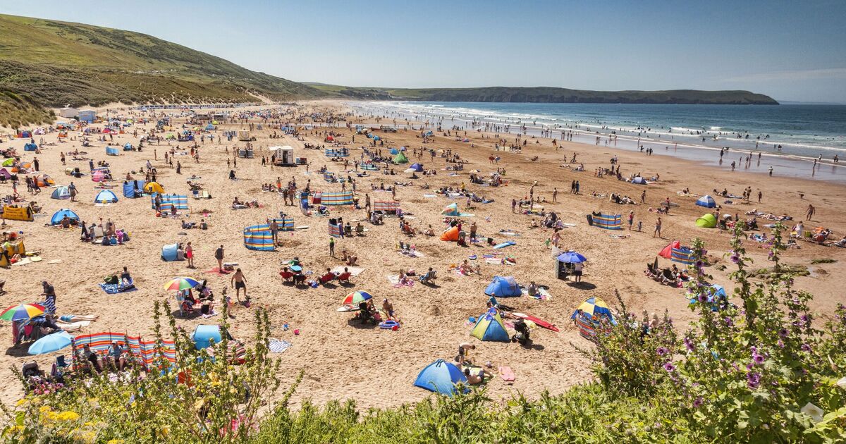
The forecasted dry and warm conditions come as the UK experienced four heatwaves this year, with temperatures exceeding a scorching 35C in some cases.
The weather throughout August has varied from heatwaves, to the arrival of Storm Floris, and while Brits were fortunate enough to experience sunny spells and high temperatures on the Bank Holiday, this week has seen cooler temperatures accompained by rainfall.
However, in just a few weeks' time, summer will extend into September, particularly in the south of England, where temperatures will be the highest.
Greater London will welcome the 26 °C heat, the highest temperature of the range, whilst Essex, Kent, Surrey and Sussex will follow closely behind, hitting temperatures of 25 °C. Over in the Midlands, temperatures will hover around 24C and 23C, whilst as you head further north it will fall to the low 20s and high 10s.
The WXCharts map shows that the heat will be accompained by dry weather which the Met Office also predicts in its long range weather forecast for Saturday, September 13 to Saturday, September 27.
It said: "Low pressure is likely to dominate much of this period, bringing changeable weather condition or some longer spells of rain. There will likely be some drier, more settled interludes, particularly at the start of the period."