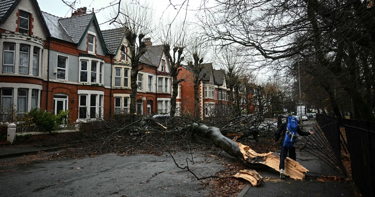

People are being urged to stay indoors and avoid going outside on Monday and Tuesday as part of advice on how to stay safe in strong winds which are being forecast by the Met Office.
The forecaster has issued a yellow weather warning for 24 hours from Monday at 6am lasting until Tuesday at 6am, for large parts of the UK including all of Scotland, most of Northern Ireland and almost all of the north of England, comprising at least 26 cities including Manchester, Liverpool, Newcastle, Edinburgh, Belfast, Leeds and York. The forecaster says Storm Floris is ‘likely’ to bring ‘unseasonably strong and potentially disruptive winds to northern UK’ on Monday and Tuesday. It said that damage to buildings, power cuts and danger to life are all possible, with travel disruption both on roads and railways, airports and ferry services.
The forecaster provided its users with advice on how to stay safe in both storms and strong winds that are predicted to hit the UK on August 4 and 5, which includes staying inside during the storm.
The Met Office said in its linked advice on staying safe in strong wind: “Being outside in high winds makes you more vulnerable to injury. Stay indoors as much as possible. If you do go out, try not to walk or shelter close to buildings and trees.”
The Met Office also said in its ‘stay safe in a storm’ advice, issued along with its yellow weather warning: “Between 1962 and 1995, 184 deaths alone were caused by building failures resulting from wind. The majority of damage reports come from domestic dwellings. The average cost of damage each year is at least £300 million.”
“During the storm: stay indoors as much as possible; If you do go out, try not to walk or shelter close to buildings and trees. Keep away from the sheltered side of boundary walls and fences - if these structures fail, they will collapse on this side.
“Do not go outside to repair damage while the storm is in progress
“If possible, enter and leave your house through doors in the sheltered side, closing them behind you
“Open internal doors only as needed, and close them behind you.”
The Met Office forecast says: “Storm Floris will bring a spell of unusually windy weather for the time of year across the northern half of the UK early next week. The strongest winds are most likely to occur across Scotland during Monday afternoon and night, although there remains some uncertainty in the depth and track of Floris.
"Across the warning area, many inland areas are likely to see westerly wind gusts of 40-50 mph with 60-70 mph possible along exposed coasts and high ground, especially Scotland.
"There is a chance of a spell of even stronger winds developing for a time, with inland gusts of 60-70 mph and 85 mph along exposed Scottish coastlines and hills. Winds will first ease in the west during later Monday but remaining very strong overnight until early Tuesday in the east. Heavy rain may also contribute to the disruption in places.”