
An 800-mile European road that connects two countries is getting a £25 billion revamp.
E39 is an 830-mile road in Norway and Denmark, running from Klett, just south of Trondheim, to Aalborg via Bergen, Stavanger, and Kristiansand.
The route runs through six counties and fifty municipalities. Travel time today is around 21 hours, and road users need to use seven different ferry connections.
The E39 is mostly a two-lane undivided road, and only relatively short sections near Stavanger, Trondheim and Bergen are motorways or semi-motorways.
In Norway, the E39 is part of the Norwegian national road system, and is as such developed and maintained by the public roads administration.
The E39 Coastal Highway is a major infrastructure project aimed at replacing ferries with tunnels and bridges to create a continuous, faster route along the west coast, connecting Kristiansand in the south to Trondheim in the north
More than £25 billion is being invested to transform the E39 into a ferry-free highway. The route will be over 30 miles shorter, and travel time will be cut in half. Ferries will be replaced by tunnels and bridges, and further improvements planned along the route from Trondheim to Kristiansand.
Once complete, the Rogfast tunnel will be the world's longest and deepest road tunnel, at 17 miles long. It is planned to open in 2026, and tolls will be in place for the first 20 years of operation.
Sights along the route include Hornindalsvatnet Lake. Europe's deepest lake is located in the village of Grodås, close to the border of Sogn og Fjordane and Møre og Romsdal counties.
The longest ferry journey on the road takes you to one of Norway's biggest islands, Stord. The island has historical importance, interesting scenery, and is a key transport link between Bergen and Stavanger.
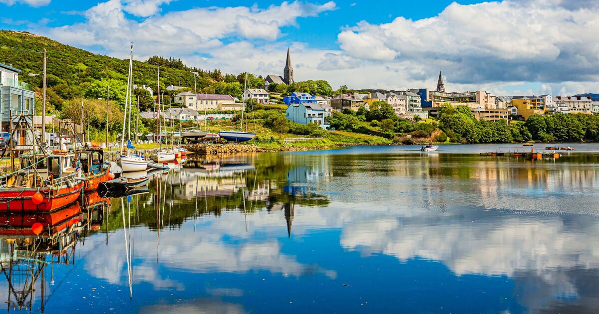
And a great stop on the last leg of the journey is Flekkefjord, a picturesque town with an interesting trading history, hiking routes and a Dutch Quarter.