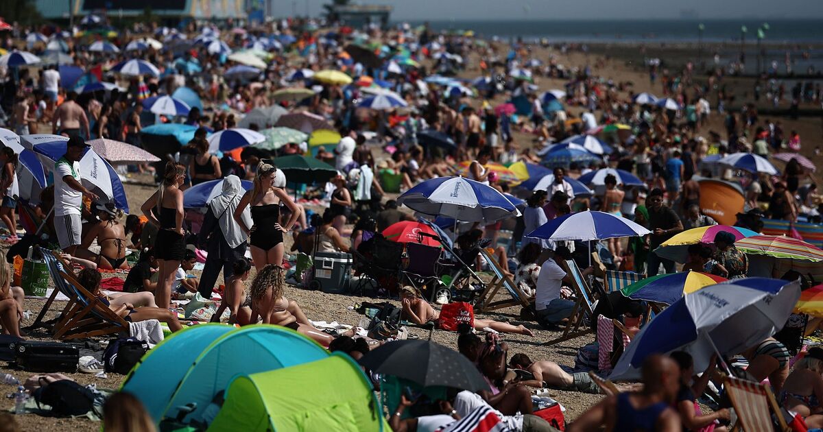

Parts of Britain are likely to be blasted by hot weather conditions as the latest weather maps show temperature levels soaring to 23C in some areas. Weather maps from Netweather.tv and WXCharts suggest that a mini-heatwave will hit the UK by the third week of May, with the whole of the country sweating in hot conditions.
The maps, which are prepared using the MetDesk data, show the warmer temperatures will impact the country on May 20. According to the weather maps, even the northern parts of Britain will sizzle at 23C, leaving Brits enjoying the summer they have been waiting for. Areas around Inverness, Glasgow and Manchester are likely to see the highest temperatures of 23C, while other areas such as London, Birmingham and Newcastle may see mercury levels oscillating around 21C.
The bright weather forecast comes days after the Met Office predicted thundershowers for some areas this weekend. The Met Office stated: "A change in the outlook comes in on Saturday night. Most areas will remain dry with long clear spells under cloudless skies.
"The cloud will remain in the far northwest of Scotland and by the early hours of Sunday morning, cloud will increase in the southwest of the UK as an area of lower pressure moving north from the continent brings a risk of showers and possible thunderstorms overnight and into Sunday morning."
However, the weather conditions will begin to change as we enter the third week of this month. Netweather.tv's forecast suggest the temperature levels may stay above the average during this period.
The Met Office’s long-range forecast between May 15 and 24 reads: "Dry, fine, and largely sunny conditions are expected to continue for the majority of the UK for the rest of the week, as the slow moving area of high pressure remains centred over the country.
"The weather will continue to feel feel warm or very warm, but it may feel cooler near the coast.
"This area of high pressure is expected to remain in place into the start of the following week, however there is an increasing likelihood that conditions could turn wetter and more unsettled.
"Areas of rain and strengthening winds may approach from the west and/or south, with a chance of thundery outbreaks at times as well.
"Daytime temperatures continue to be generally above average at first, and perhaps closer to average later on in the period."

11 PerFlyer