
If it feels a bit chilly now, just wait until next week when it will be much warmer.
More sunshine and a change in the wind direction are expected to bring the warmest weather of the year so far.
It might even be time to dust off the BBQ and apply the sunscreen.
Saturday sees temperatures range from 13-17C with the possibility of western areas seeing some rain. Eastern parts of the UK are likely to stay dry but there will be a good deal of cloud.
On Sunday the next band of rain will be pushed back to Scotland and Northern Ireland. In England and Wales, as pressure starts to rise, the cloud will break to leave sunnier skies and it will start to warm up.

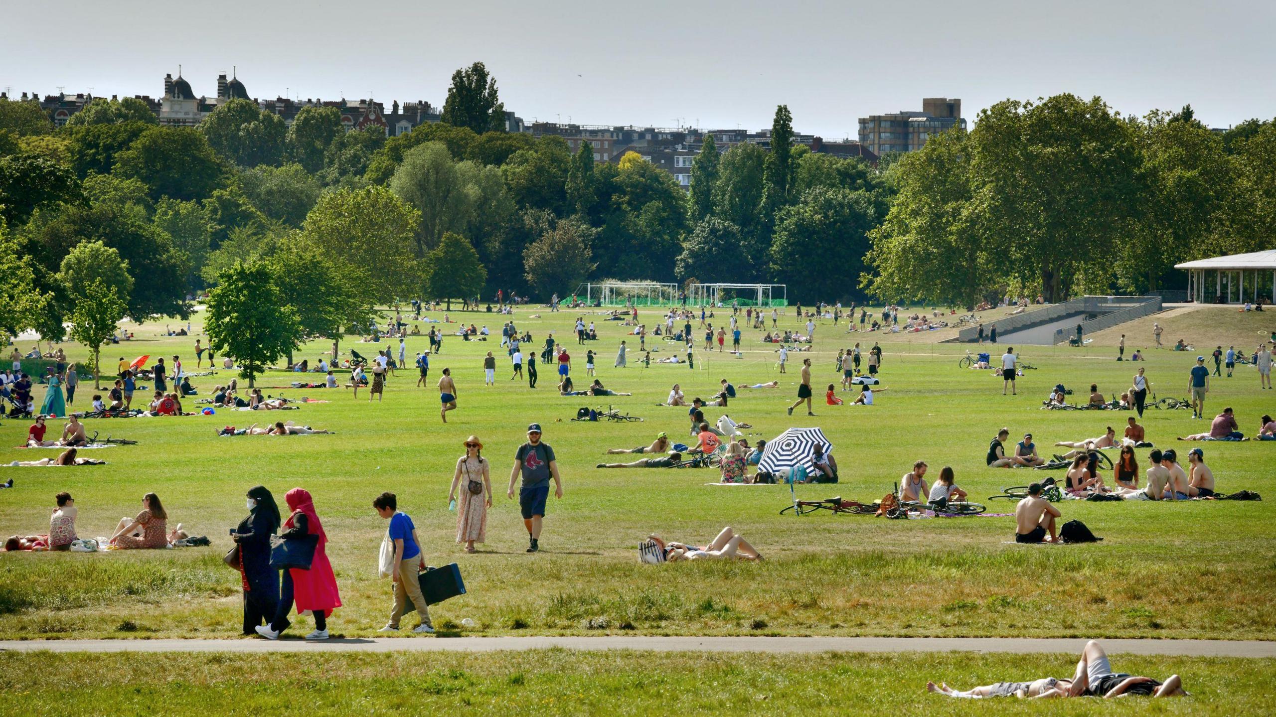
The two largest marathons in the UK both take place on Sunday and many runners will be hoping the warmer weather starts a day later.
The London marathon will be dry and mostly sunny with light winds. At the start of the race, temperatures will be 13C but for runners finishing around mid-afternoon it will be a warm 20 or 21C.
For the marathon in Manchester there will be spells of sunshine and it should stay dry. A gentle south-westerly breeze is expected with the temperature peaking at 17C in the afternoon.

From early next week the temperatures continue to climb as the wind changes direction to a south-easterly and we tap into some warmer air from the near continent.
Temperatures will climb widely to 22-23C and it will feel very pleasant in the sunshine. In the Midlands and south-east England temperatures are forecast to reach 25-27C by Wednesday.
This will be the warmest weather of the year so far and the warmest since early September.
It is not unusual to have these temperatures at this time of the year. The highest April temperature ever recorded is 29.4C which was reached in London on 16 April 1949. However, the last time the temperature rose to 27C in April was in 2018 in Cambridge.

A blocked weather pattern with high pressure to the east of the UK and low pressure to the west means the heat will be drawn up from continental Europe.
This pattern could remain in place until the end of next week at least.
The position of the areas of high and low pressure may alter by next weekend, allowing cooler air to reach northern parts of the UK and showers may affect southern areas. This is still some way off and may change.
You can find out how warm it will be where you are on the BBC Weather app or by catching up with the latest Weather for the Week Ahead.
The jet stream that affects the UK is powered by temperature contrasts between the Arctic and the Tropics. As climate change continues to rapidly warm Arctic regions, it is possible that the jet stream will become weaker and distort more often leading to more of these 'blocked' patterns.